 EMODnet Product Catalogue
EMODnet Seabed Habitats
Type of resources
Available actions
Topics
Keywords
Contact for the resource
Provided by
Years
Formats
Representation types
Update frequencies
status
Service types
Scale 1:
Resolution
-
This layer shows the current known extent and distribution of live hard coral cover in European waters, collated by EMODnet Seabed Habitats. The point and polygon layers were last updated in 2023. Lophelia pertusa and Coral gardens are both on the OSPAR List of threatened and/or declining species and habitats. The purpose was to produce a data product that would provide the best compilation of evidence for the essential ocean variable (EOV) known as Hard coral cover and composition (sub-variable: Live hard coral cover and extent), as defined by the Global Ocean Observing System (GOOS). The geographic extent of this product was extended in 2023 to include jurisdictional waters (including continental shelf and claimed extended continental shelf) of EU Member States, the United Kingdom (UK) and Norway including areas in the Caribbean Sea.
-
This layer shows the current known extent and distribution of Seagrass meadows in European waters, collated by EMODnet Seabed Habitats. The point and polygon layers were last updated in 2023.The purpose was to produce a data product that would provide the best compilation of evidence for the essential ocean variable (EOV) known as Seagrass cover and composition (sub-variable: Areal extent of seagrass meadows), as defined by the Global Ocean Observing System (GOOS). Seagrasses provide essential habitat and nursery areas for many marine fauna. There are approximately 72 seagrass species that belong to four major groups: Zosteraceae, Hydrocharitaceae, Posidoniaceae and Cymodoceaceae. Zostera beds and Cymodecea meadows are named on the OSPAR Threatened or Declining Habitats list. Posidonia beds are protected under Annex I of the EU Habitats Directive. The geographic extent of this product was extended in 2023 to include jurisdictional waters (including continental shelf and claimed extended continental shelf) of EU Member States, the United Kingdom (UK) and Norway including areas in the Caribbean Sea.
-
This layer shows the current known extent and distribution of macroalgal canopy in European waters, collated by EMODnet Seabed Habitats. The points were added in Sept 2021, and both the points and polygons were updated in 2023. The purpose was to produce a data product that would provide the best compilation of evidence for the essential ocean variable (EOV) known as Macroalgal canopy cover and composition (sub-variable: Areal extent), as defined by the Global Ocean Observing System (GOOS). Kelp and fucoid brown algae are the dominant species that comprise macroalgal forests. This data product should be considered a work in progress and is not an official product.
-
Data holdings of individual essential fish habitat maps in European waters. Data are collated by EMODnet Seabed Habitats partners from a variety of source datasets and conformed and standardised into the portal's INSPIRE-compliant schema (for more information, please see https://www.emodnet-seabedhabitats.eu/contribute-data/essential-fish-habitat-map-submission-process/) . Ownership of the individual maps is retained by the original owners, for more information please see the individual metadata record tied to the map, which can be seen in the query response. Maps are available individually through EMODnet Seabed Habitats' "maplibrary" OGC service endpoints: For WMS (view) access to maps, please use https://ows.emodnet-seabedhabitats.eu/geoserver/emodnet_view_maplibrary/wms For WFS (download) access to open vector maps, please use https://ows.emodnet-seabedhabitats.eu/geoserver/emodnet_open_maplibrary/wfs For WCS (download) access to open raster maps, please use https://ows.emodnet-seabedhabitats.eu/geoserver/emodnet_open_maplibrary/wcs
-
Combined use of optical (satellite imagery), and acoustic (sidescan sonar) remote sensing techniques, as well as in situ methodologies (visual census; SCUBA diving, Towed Underwater Cameras, and Remotely Operated Vehicles) was employed to map the spatial distribution of seagrass habitats in the coastal waters of the Hellenic territory. Seagrass meadows were recorded at approximately 70% of the Hellenic coastline (Eastern Ionian, Aegean and Levantine Seas), and their surface area exceeded 2,673.1 km2. Posidonia oceanica is -by far- the dominant seagrass species of the Hellenic seas, covering the vast majority of seabed at depths between the shoreline and 25 ÔÇô 30 m (or deeper in insular areas), followed by the species Cymodocea nodosa, Zostera noltei, and Halophila stipulacea, which, however, presenting local presence and limited areal extent. Habitat suitability in terms of the seabed spatial extent that is available for the growth of seagrass meadows (i.e., the spatial extent of coastal areas between the shoreline and the isobath of 20m) and the seawater clarity conditions are highlighted as the critical factors for the formation of well-structured and extensive meadows. The results of this study are of great importance and usefulness for the effective management and conservation of valuable marine ecosystems. Report: Panayotidis Panayiotis, Papathanasiou Vasillis, Gerakaris Vasilis, Fakiris Elias, Orfanidis Sotiris, Papatheodorou Georgios, Kosmidou Maria, Georgiou Nikos, Drakopoulou Paraskevi, Loukaidi Vasiliki (2022). Seagrass Meadows in The Greek Seas. SEANOE. https://doi.org/10.17882/87740
-
Data holdings of individual habitat maps in European waters. Data are collated by EMODnet Seabed Habitats partners from a variety of source datasets and conformed and standardised into the portal's INSPIRE-compliant schema (for more information, please see https://emodnet-seabedhabitats.eu/def . Habitats are described in a variety of classification systems, including EUNIS (European Nature Information System), Habitats Directive Annex I, Ramsar and local/other classification systems. Ownership of the individual maps is retained by the original owners, for more information please see the individual metadata record tied to the map, which can be seen in the query response. Maps are available individually through EMODnet Seabed Habitats' "maplibrary" OGC service endpoints: For WMS (view) access to maps, please use https://ows.emodnet-seabedhabitats.eu/geoserver/emodnet_view_maplibrary/wms? For WFS (download) access to open maps, please use https://ows.emodnet-seabedhabitats.eu/geoserver/emodnet_open_maplibrary/wfs?
-
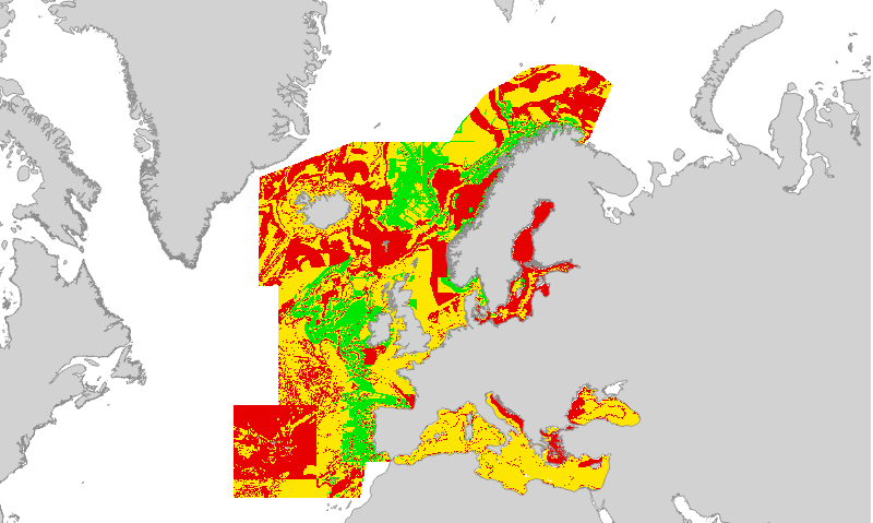
Confidence in the classification of substrate type in the 2019 EUSeaMap broad-scale predictive habitat map. Values are on a range from 1 (Low confidence) to 3 (High confidence). Substrate type is one of the layers of information used to categorise physical habitat types in EUSeaMap; these layers of information are collectively known as 'habitat descriptors'. The substrate layer confidence was obtained from reclassification and standardisation of the confidence scores associated with each primary layer used to create the Substrate types layer. Detailed information on the modelling process for the 2016 is found in section 2.7.2 of the EMODnet Seabed Habitats technical report and its appendices (Populus et al, 2017, link in Resources). We are working on an updated report for the 2019 version. Created by the EMODnet Seabed Habitats project consortium.
-

Output of the 2019 EUSeaMap broad-scale predictive model, produced by EMODnet Seabed Habitats. The extent of the mapped area includes the Mediterranean Sea, Black Sea, Baltic Sea, and areas of the North Eastern Atlantic extending from the Canary Islands in the south to the Barents Sea in the north. The map was produced using a "top-down" modelling approach using classified habitat descriptors to determine a final output habitat. Habitat descriptors differ per region but include: Biological zone Energy class Oxygen regime Salinity regime Seabed substrate Riverine input Habitat descriptors (excepting Substrate) are calculated using underlying physical data and thresholds derived from statistical analyses or expert judgement on known conditions. The model is produced using R and Arc Model Builder (10.1). The model was created using raster input layers with a cell size of 0.00104dd (roughly 100 metres). The model includes the sublittoral zone only; due to the high variability of the littoral zone, a lack of detailed substrate data and the resolution of the model, it is difficult to predict littoral habitats at this scale. This map follows the EUNIS 2007-11 classification system where it is appropriate. It has also been classified according to MSFD Benthic Broad Habitat types. This report details the methods used in the previous version (v2016) - a new report is in progress: Populus J. And Vasquez M. (Eds), 2017. EUSeaMap, a European broad-scale seabed habitat map. Ifremer Available from: http://archimer.ifremer.fr/doc/00388/49975/
-
Oxygen regime class layer in the Black Sea produced by EMODnet Seabed Habitats as an input layer for the 2019 EUSeaMap broad-scale habitat model. The map of oxygen regime classes was produced using underlying potential density anomaly at the seabed and thresholds derived from statistical analyses or expert judgement on known conditions. Detailed information on the modelling process for the 2016 is found in the EMODnet Seabed Habitats technical report and its appendices (Populus et al, 2017, link in Resources). We are working on an updated report for the 2019 version.
-
Layer showing the boundaries used to subset the modelling of EUSeaMap (2019) therefore streamlining the processing. Each region had a specific partner lead within the consortium: Celtic seas & Arctic - JNCC Iberian peninsula & Black Sea - Ifremer Baltic sea - GEUS Mediterranean - ISPRA